Integration of Data Analytics and Drone AI Technology in the Oil and Gas Industry
By Prasad Selvaraj – The Digital Oilfield
Abstract
The oil and gas industry is undergoing rapid digital transformation driven by advances in data analytics and drone-based artificial intelligence (AI).
This article reviews how data analytics and UAV (drone) AI are being integrated across the upstream, midstream, and downstream segments, and how they
improve safety, operational efficiency, predictive maintenance, and environmental monitoring. It also highlights real-world case studies,
implementation challenges, and a future roadmap for scaling these technologies.
Introduction
The oil and gas sector operates in complex, hazardous environments with widely distributed assets — remote offshore platforms, long-distance pipelines,
isolated well sites, and dense refinery complexes. As pressure increases around safety, efficiency, and environmental responsibility, traditional
manual inspection and legacy monitoring systems are no longer enough.
Digital tools such as industrial Internet of Things (IIoT), advanced data analytics, and AI-enabled drones are becoming essential.
Drones can access locations that are too dangerous, remote, or time-consuming for humans, while analytics platforms turn this raw data into
actionable intelligence for engineers, safety teams, and decision makers.
Overview of Data Analytics in Oil and Gas
The oil and gas industry generates vast volumes of data along the hydrocarbon value chain. Through digitalisation and IoT sensors,
companies now have access to continuous streams of operational, environmental, and inspection data. Data analytics transforms these raw
signals into meaningful insights that support safer, more efficient, and more compliant operations.
Applications Across the Value Chain
| Sector |
Key Applications |
| Upstream |
Seismic data analysis, reservoir modelling, drilling optimisation, prediction of drilling issues, and reduction of non-productive time (NPT).
|
| Midstream |
Pipeline surveillance, asset tracking, flow monitoring, logistics optimisation, and early detection of leaks or integrity issues.
|
| Downstream |
Refinery process analytics, energy efficiency optimisation, supply chain coordination, demand forecasting, and customer behaviour analysis.
|
Illustration: Adoption of Analytics Techniques
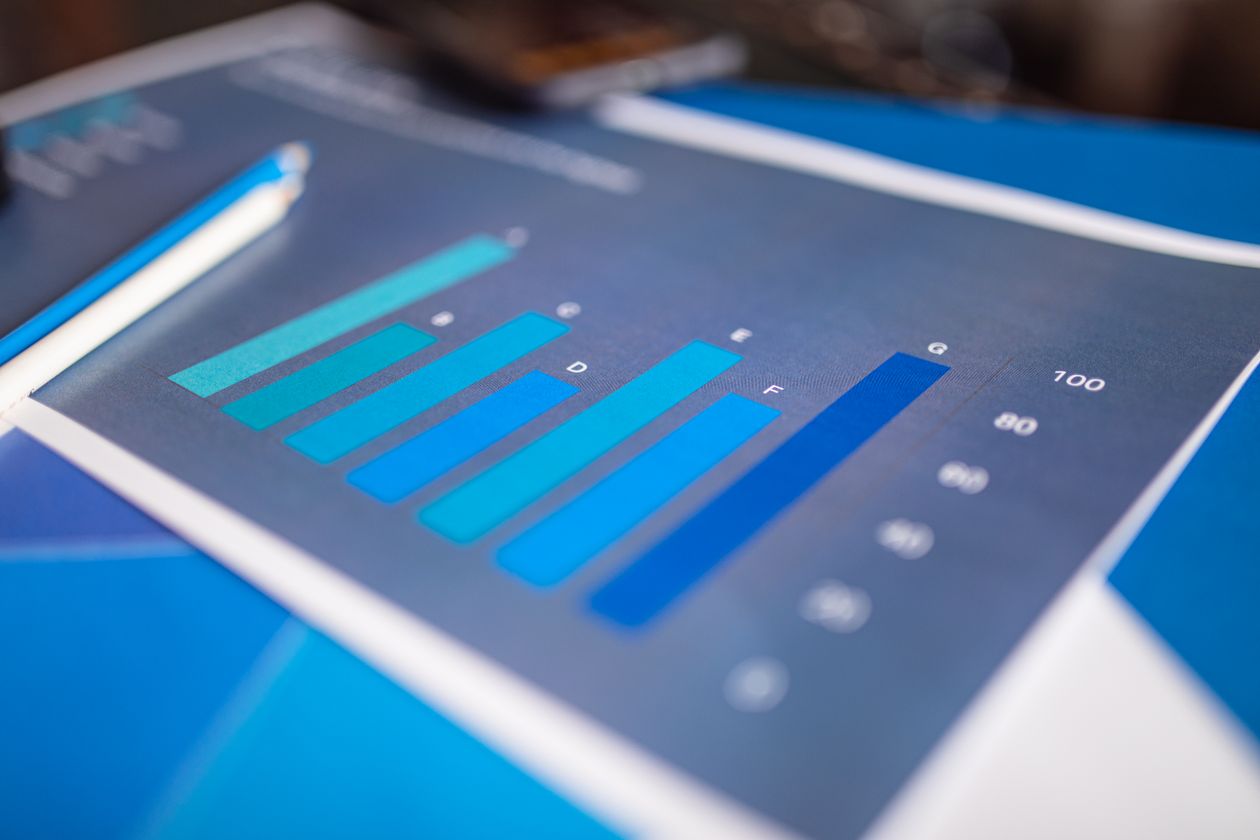
A typical analytics stack in oil and gas includes descriptive, diagnostic, predictive, and prescriptive analytics, along with
machine learning for maintenance and real-time streaming analytics. Each layer builds on the previous one, moving from “What happened?”
and “Why did it happen?” to “What will happen?” and “What should we do about it?”.
Key Analytics Techniques
- Descriptive Analytics: Summarises historical production, equipment performance, and incident records using dashboards and KPI reports.
- Diagnostic Analytics: Investigates root causes of failures or performance deviations by correlating sensor data, alarms, and events.
- Predictive Analytics: Uses machine learning models (e.g., regression, decision trees, neural networks) to forecast failures, demand, or performance degradation.
- Prescriptive Analytics: Recommends optimal actions (e.g., adjusting process parameters, rerouting logistics) based on prediction and scenario simulation.
- ML for Predictive Maintenance: Learns patterns in vibration, temperature, pressure, and flow to anticipate equipment failures and schedule maintenance proactively.
- Streaming Analytics: Processes real-time sensor and UAV data to trigger instant alerts and corrective actions using platforms like Kafka, Spark Streaming, and edge computing nodes.
AI and Drone Technology in the Oil and Gas Industry
Drone Types and Payloads
Oil and gas operations typically use two main drone types: fixed-wing drones for long-range coverage and multirotor drones
for precise, agile inspections. These UAVs can carry multiple payloads to support different missions.
| Payload Type |
Application |
| RGB Cameras |
Visual inspection, surveillance, general asset imaging. |
| Thermal Cameras |
Heat anomaly detection, flare stack inspection, insulation issues. |
| Infrared Cameras |
Leak detection, night surveillance, hot-spot identification. |
| LiDAR |
Terrain mapping, structural deformation analysis, 3D modelling. |
| Gas Sensors |
Gas leak detection (e.g., CH₄, CO₂), air quality monitoring. |
Illustration: Comparison of Drone Types
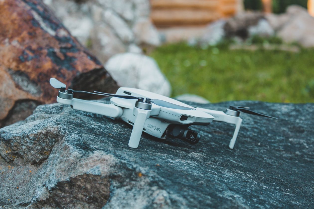
Fixed-wing drones generally offer longer range and endurance, making them suitable for pipeline and corridor inspection,
while multirotor drones excel at close-up, detailed inspections of flares, structures, and confined areas.
AI Capabilities on Drones
- Computer Vision for Defect Detection: AI models analyse images to detect cracks, corrosion, coating loss, and structural deformation.
- Object Recognition & Anomaly Detection: Identifies unauthorised persons, vehicles, intrusions, or unexpected changes in the environment or infrastructure.
- Autonomous Flight Planning: AI plans and adapts flight paths based on mission goals, weather conditions, and real-time context, reducing pilot workload and improving coverage.
Key Drone-AI Use Cases in Oil and Gas
1. Flare Stack Inspection
Traditional flare stack inspections require shutdowns, scaffolding, rope access, and sometimes helicopter support — all of which
are expensive, risky, and disruptive. Multirotor drones equipped with RGB and thermal cameras can inspect live flare stacks while
they remain in operation.
- Detect fractures, corrosion, and structural deformation.
- Identify thermal anomalies and incomplete combustion zones.
- Accelerate inspection cycles by up to 60% and reduce human exposure to extreme heat and height.
2. Pipeline and Well Site Monitoring
Pipeline networks stretch across thousands of kilometres and remote well sites are difficult and costly to patrol manually.
Fixed-wing drones with LiDAR, thermal, and optical sensors enable wide-area surveillance.
- Detect unauthorised access, illegal tapping, and vandalism.
- Monitor signs of corrosion, erosion, subsidence, or vegetation encroachment.
- Provide real-time alerts via edge AI and cloud analytics.
3. Spill Detection and Gas Leak Assessment
Drones fitted with methane, CO₂, and VOC sensors, coupled with infrared imaging, scan for invisible gas leaks and spills.
AI models interpret:
- Gas concentration patterns and plume shapes.
- Dispersion trajectories in relation to wind and temperature.
- Expected impact zones and severity levels.
This supports regulatory compliance (e.g., EPA standards, OGMP 2.0 methane frameworks) and environmental stewardship.
4. Emergency Response in Hazardous Zones
During explosions, fires, chemical spills, or structural collapses, sending humans in first can be extremely dangerous.
Autonomous drones operate as “first responders”.
- Provide real-time video with AI-based hazard tagging.
- Create 3D maps of the incident area using LiDAR and AI reconstruction.
- Locate trapped persons using thermal imaging and tracking algorithms.
Impact Metrics from Drone-AI Integration
| Metric |
Impact |
| Safety & Security |
Significant reduction in human exposure to hazardous environments. |
| Inspection Rate |
Up to 70% faster than traditional manual techniques. |
| Data Precision |
Greatly improved anomaly detection, reported up to 95% accuracy in some use cases. |
| Operational Expenditure |
Lower downtime, fewer site visits, reduced labour and logistics costs. |
| Environmental Impact |
Proactive leak detection reduces spills and emissions, supporting ESG goals. |
Case Study: BP – AI Drones for Flare Stack Inspection
BP implemented an integrated drone-AI system to inspect flare stacks more safely and efficiently. Multirotor drones with RGB
and thermal cameras captured detailed images while the stack remained in service. AI models processed this imagery to detect
structural defects, corrosion, and abnormal heat signatures.
| Metric |
Result |
| Inspection Duration |
Reduced by approximately 60% compared to manual methods. |
| Defect Detection Precision |
Achieved around 95% accuracy in detecting anomalies. |
| Safety |
Substantial reduction in human exposure to height, heat, and live equipment. |
Integration of Data Analytics and Drone AI
Data Integration and Processing
True value emerges when drone data is integrated with existing operational systems such as SCADA, ERP, and GIS.
This creates a unified view of asset health and risk.
- Edge Computing: Onboard or near-field processors analyse drone data in real time to detect leaks, intrusion, or anomalies before transmitting summaries to the cloud.
- SCADA/ERP Linkage: AI-tagged drone findings are correlated with SCADA events and ERP maintenance plans to trigger work orders and prioritise repairs.
- GIS Overlay: UAV imagery and LiDAR scans are overlaid on GIS maps to visualise spatial patterns and compare against historical baselines.
- Cloud Analytics: Long-term data storage and machine learning pipelines in the cloud support trend analysis, forecasting, and optimisation.
Predictive Maintenance Applications
AI models trained on historical drone inspections, sensor readings, and maintenance records can predict when assets are likely to fail.
Examples include:
- Offshore Platforms: Forecasting structural corrosion and fatigue, reducing unplanned downtime.
- Pipelines: Predicting leak-prone segments, achieving high leak prediction accuracy and preventing major spills.
- Compressors & Pumps: Using vibration and thermal signatures to anticipate failures and cut unexpected maintenance by significant margins.
Case Study: Shell – Autonomous Drone Monitoring of Pipelines
Shell deployed autonomous multirotor drones along more than 300 km of critical pipeline infrastructure. Equipped with RGB and thermal cameras,
these drones collected high-resolution visual and thermal data.
- AI algorithms detected corrosion, cracks, and vegetation encroachment.
- Inspection time reduced by around 80% compared to manual patrols.
- Corrosion detection accuracy improved by about 40% through image-based analytics.
- Real-time alerts enabled quicker maintenance and reduced field exposure for staff.
Effects and Benefits of Drone–Analytics Integration
Cost Reduction
- Lower inspection costs by reducing scaffolding, rope access, helicopter flights, and manual site visits.
- Targeted interventions based on early detection minimise repair costs and extend asset life.
- Better utilisation of maintenance budgets through risk-based prioritisation.
Improved Safety
- Reduced human presence in hazardous areas such as flare stacks, confined spaces, and chemically contaminated zones.
- Fewer accidents and lower insurance and incident-related costs.
- Better compliance with health, safety, and aviation regulations.
Real-Time Environmental Monitoring
- Continuous monitoring of gas dispersion and emissions using onboard gas sensors and IR cameras.
- Automatic alerts when thresholds are exceeded and prediction of impact zones using GIS and weather data.
- Reduced environmental fines and improved ESG performance through quick containment.
Operational Efficiency
- Inspections that once took hours can now be completed in minutes with real-time processing.
- Unified dashboards provide a full view of asset health, risk status, and outstanding maintenance.
- Integration with ERP systems ensures that AI insights automatically generate work orders and follow-up actions.
Challenges and Barriers
Data Privacy and Security
Drones capture sensitive visual, thermal, and geospatial data about critical infrastructure. Cloud-based analytics introduce
cybersecurity risks such as interception, unauthorised access, and data leakage. Companies must adopt strong encryption,
access control, and compliance with regional data protection regulations.
Regulatory Constraints
Civil aviation authorities (e.g., FAA, EASA, GCAA) impose rules on drone operations: restricted airspace,
line-of-sight limits, altitude caps, licensing, and weather constraints. These regulations can slow deployment,
especially for beyond-visual-line-of-sight (BVLOS) and offshore missions.
System Interoperability
Legacy SCADA, DCS, and ERP systems are often closed, proprietary, and difficult to integrate with modern analytics platforms.
The lack of standardised data formats and APIs creates friction when trying to ingest drone data and AI outputs into existing workflows.
Skilled Workforce
Successful programs require certified drone pilots, AI and data engineers, cybersecurity specialists, and field engineers
who can interpret AI-generated insights. Many organisations face digital skill gaps, particularly in remote regions.
Weather and Environmental Limits
Strong winds, heavy rain, snow, extreme heat, dust, and sandstorms all affect drone stability and sensor performance.
These conditions limit flight windows and can reduce data quality, especially for critical missions.
Summary of Challenges
| Challenge |
Impact |
| Data Protection & Confidentiality |
Increased cyber risk and potential regulatory non-compliance. |
| Regulatory Constraints |
Restricted operational areas, delayed approvals, limited BVLOS operations. |
| System Interoperability |
Difficulty integrating drone/AI data into SCADA and ERP systems. |
| Skill Shortages |
Slower adoption and higher training costs. |
| Weather & Environmental Factors |
Reduced reliability and shorter operational windows. |
Future Roadmap and Emerging Trends
5G and Edge AI
5G connectivity enables low-latency, high-bandwidth communication between drones and control centers. Combined with edge AI,
drones can perform onboard inference, detect anomalies, and send only the most relevant data, reducing bandwidth and response time.
Intelligent Swarm Drones
Coordinated swarms of autonomous drones will be able to cover large pipeline networks, offshore clusters, and refinery complexes more efficiently.
AI will optimise flight paths, avoid duplication, and allow swarms to work together on complex tasks.
Blockchain for Secure Data Sharing
Blockchain can provide tamper-proof records of inspection data, model outputs, and maintenance actions. This is useful for multi-operator assets,
joint ventures, and regulatory audits where trust and data lineage are critical.
Digital Twins Powered by Drone Data
Digital twins are virtual replicas of physical assets that are continuously updated with real-world data. Live drone inputs will allow
operators to simulate scenarios, predict failures, plan interventions, and manage the complete lifecycle of critical infrastructure.
Strategic Recommendations
- Invest in high-quality training datasets derived from diverse drone footage (terrains, asset types, and conditions).
- Standardise drone data formats and metadata to improve interoperability with SCADA/ERP systems.
- Promote collaboration between oil companies, drone vendors, regulators, and academia to accelerate innovation.
- Develop interdisciplinary training that bridges aviation, AI, geospatial analytics, and safety compliance.
Conclusion
The integration of data analytics and drone AI is reshaping operations across the oil and gas value chain. Drones act as high-frequency,
high-fidelity data collectors, feeding advanced analytics and AI models that deliver tangible value in four key areas:
- Safety: Reduced human exposure to hazardous environments through remote inspections.
- Operational Efficiency: Fewer manual inspections, reduced downtime, and smarter maintenance planning.
- Cost Optimisation: Lower labour, logistics, and shutdown costs, with extended asset lifespans.
- Environmental Stewardship: Faster leak detection and response, lower emissions, and better regulatory compliance.
Challenges around cybersecurity, regulation, system interoperability, skills, and environmental conditions remain, but they are surmountable through
collaborative governance, standardisation, and continuous capability building.
As 5G, edge AI, swarms, blockchain, and digital twins mature, drone-driven analytics will move from isolated pilots to fully integrated,
autonomous asset management platforms. Companies that embrace this transformation early will be better positioned for a safer, more efficient,
and more sustainable energy future.
Comments
Post a Comment